

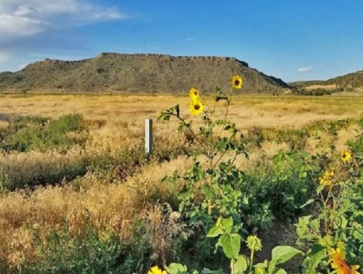
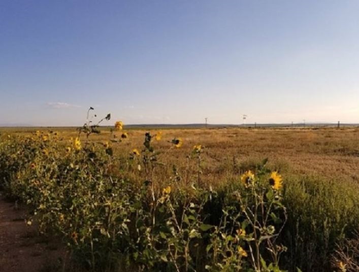
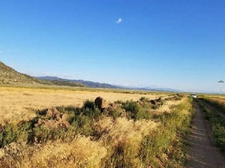

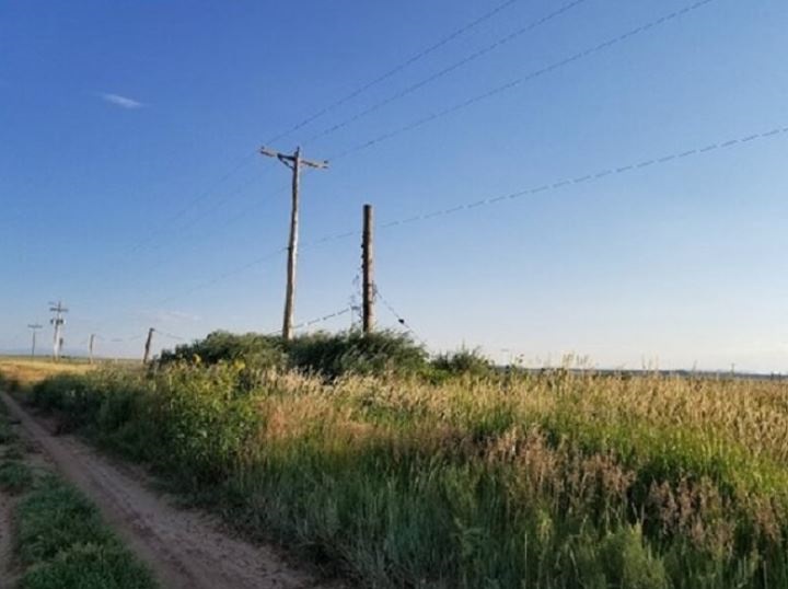
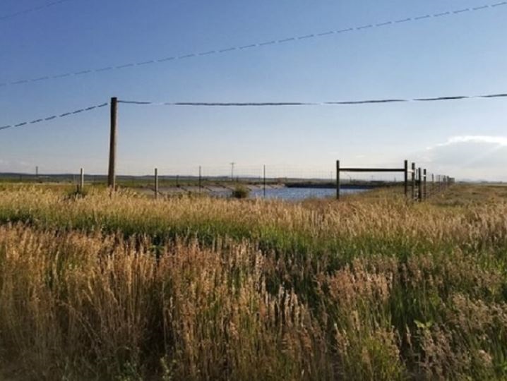
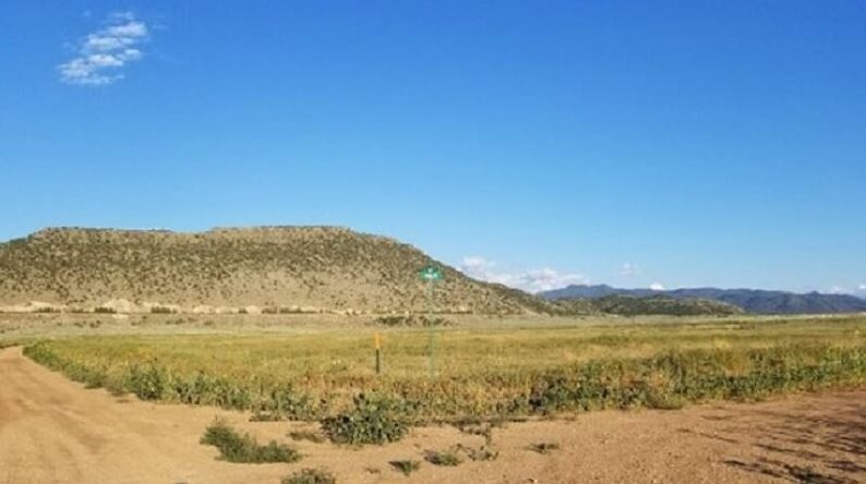
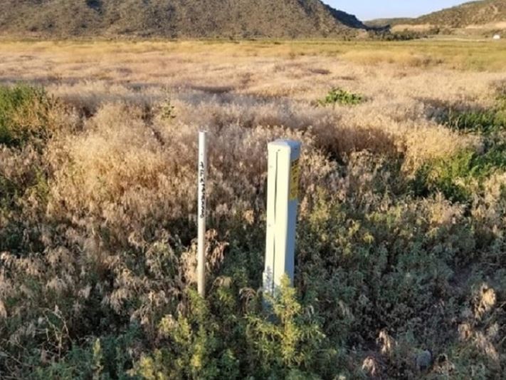
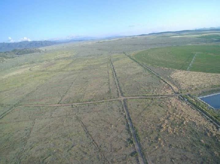
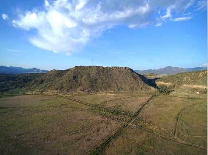

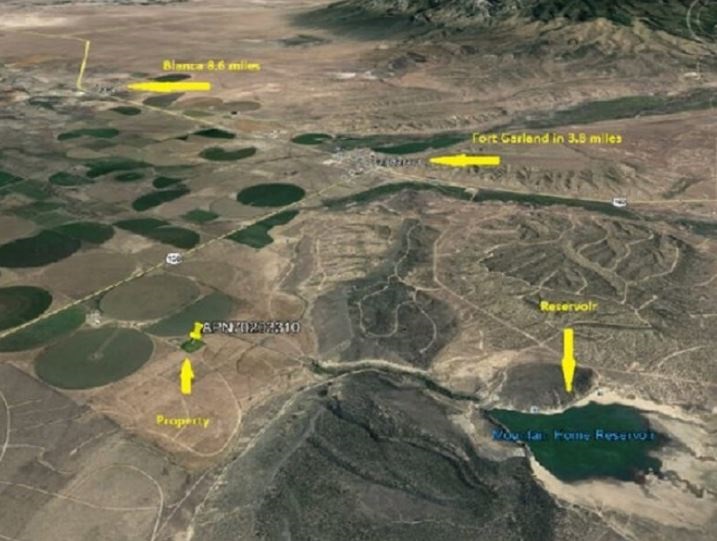
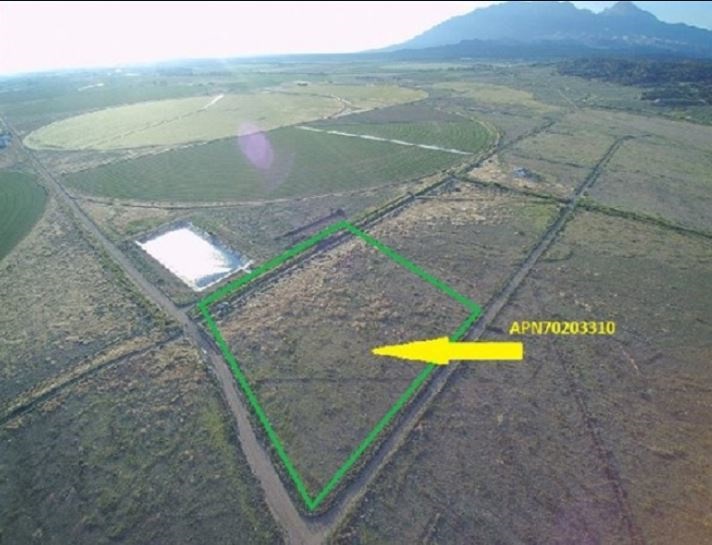
Wonderful mountain land in the Sangre de Cristo Ranches just east of Fort Garland, Colorado. These awesome lots are dotted across the foothills of the San Luis Valley and offer tremendous views of Mt Blanca to the north. There are numerous full-time residents in this community, however, many residents and land owners use their land for camping and recreational uses. This is a covenant protected the community and all roads are county maintained. Most parcels are accessible via car or truck the majority of the year. Power is at the road adjacent to property
*Call us to customize seller finance terms
Local Attractions:
The San Luis Valley
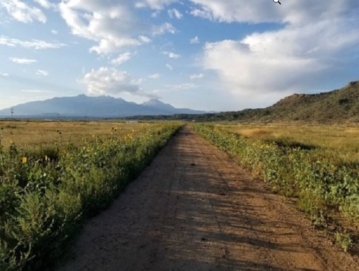
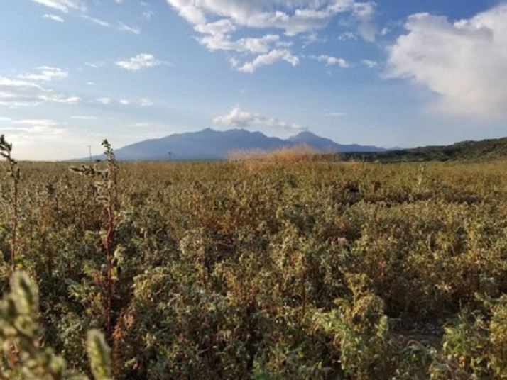
The San Luis Valley, North America’s largest alpine valley, sits on the south-central border of Colorado and New Mexico, beginning just above of Taos, NM and extending north to Poncha Pass, near Villa Grove, CO. Highways 160 (east-west) and 285 (north-south) are the region’s primary transportation veins.
Zapata is located at the eastern edge of the valley, at the junction of Highway 150 and Lane 6 North — about 15 miles east of the town of Mosca and five miles south of Great Sand Dunes National Park and Preserve.
The San Luis Valley sits at about 7,500 feet above sea level, in a semi-arid region ringed on all sides by mountains. The climate is dry and temperate for three seasons, with sunny, warm, pleasant summers and cool, breezy springs and falls. Winters can be harsh, with daytime temperatures averaging in the 20s and often dipping well below zero at night. Snowfall is common from October through April and accumulates in the foothills and mountains (including Zapata), usually melting off quickly in the lower elevations.
(BUYERS ARE RESPONSIBLE TO DO THEIR OWN DUE DILIGENCE)